Now that I had a map laid out, it was time to lay out the config.bmp information. If you’re new to SC4, config.bmp is the way that you can determine what size cities you have within your region.
As mentioned in my previous post, I created a “region” of Cincinnati that was 69×45. Each tile in SC is 64×64, so my “region” will have 4416×2880 pixels, which was conveniently (and not accidentally) the size of my greyscale BMP I saved and uploaded.
But as you are laying out your region, you can have “small” cities which are 1×1, “medium” cities which are 2×2, or “large” cities which are 4×4. A small city is 64×64, a medium 128×128 and a large is 256×256. There is no real distinction between the cities in SC4 (besides their size obviously) – you just need to make sure to architect them so that they all fit inside the region.
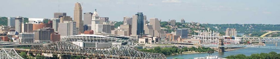
For my purposes, I wanted to make sure that the “bigger” areas were 4×4, and I wanted to try and do my best that larger landmarks were not “cut off” on the edges of my SC4 cities. For instance, I wanted Downtown to be a 4×4 region, and it had to include a little bit of the Northern Kentucky waterfront, because otherwise it would be impossible in-game to make bridges across the river.
Annoyingly, as you no doubt understand, most cities do not have conveniently “square” borders. In some cases I solved that by just making it a large 4×4 square and encompassing some of the surrounding real world areas, and in some cases I made several smaller cities and called them by the same name. I am unclear whether I prefer just calling them for instance both “Mason” or one called “Mason West” and one called “Mason East”. I guess I’ll have to play that by ear.
I mostly used a Rand McNally atlas to look at the real world city / neighborhood borders and convert those to my tiles. I set up a spreadsheet that tracked the real world lat / long data for each of the squares in the 69×45 region, and then I just did my best. As I mentioned before, there are some real limitations to doing this but hopefully it will all work out okay.
Another guiding principle I used was that I wanted to maximize Blue (4×4) sections wherever possible, especially on the outer regions (what we like to call the “Middle of Nowhere”). Even using all 4×4 cities, that is still nearly 300 individual cities that I’ll have to manage – in contrast, using all 1×1 cities would make it over 3000. I’m a glutton for punishment, obviously, but hopefully not THAT much of a glutton!!
Here is where I’m at with that (click for a larger view).

I was working on this late at night and my wife kept telling me that I couldn’t go to bed until I was finished with my “homework” but obviously I didn’t quite finish. Still, I’m happy with the result, at least so far. As you may have noticed, neither 69 nor 45 are divisible by 4, so each row and column will have to have at least 1 “red” tile. The colors come from the actual config.bmp. Once I’m done with this, the way to import it into SC4 is that you create an actual 69×45 pixel bitmap, coloring the 4×4 cities blue (making that corresponding area actually 4×4 pixels), the medium cities green and the small cities red.
Currently I am using the West / East convention for larger cities in some places (West Chester, Mason) while using the other convention for other places (Fairfield). I do kind of like how the different size cities are kind of “random” and break up some of the monotony. You can see the lat/lon information on the spreadsheet – we’re talking 38 and 39 degrees North and 84 degrees West. I’ve also not named some of the areas – in really rural areas there really is NOTHING but like 5-10 roads in that entire section.
Next up – finishing this and getting it actually into the game!

Ack, this is hurting my head! 🙂
Pingback: South Madeira | Recreating Cincinnati in SimCity 4