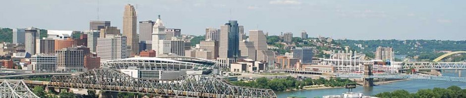
Okay so my first challenge was trying to create a map. There are lots of maps of real world areas that have been created by various folks. In fact, there’s even one of Cincinnati stored on the STeX (SimTropolis eXchange) – see here (you may need to register there – I’m not sure). The problem with that map is that it is just too small in scale. It didn’t really capture all of what I consider to be Cincinnati.
Of course that’s a problem that I’ve tried to tackle before (over at Every Whatever – what IS Cincinnati? In the end, I wanted to go south into Florence (gotta recreate the Florence Y’all Water Tower!!!), north to Mason (for Kings Island), west to get Lawrenceburg, Indiana (and have a complete I-275 beltway), and then east to get a little past 275 on the east.
In the end, I decided to draw the line a little further west to capture all the bends of the Ohio River – if you look at the map below, you’ll see that a bit west of Cincinnati the Ohio bends back east a little bit, and I didn’t want to have non-contiguous sections of river. Moving the west border any further east would have cut off the section near Aurora, IN. In the east, I decided to go all the way out to East Fork Lake.
My final coordinates were
West: -84.905 or 84 54.3 W
East: -84.00 or 84 05.4 W
South: 38.953 or 38 57.18 N
North: 39.372 or 39 22.32 N
I feel that captured a pretty good idea of what Cincinnati was. Here is the (approximate) area as shown by Google Maps.

Next up – getting it into SimCity!
